
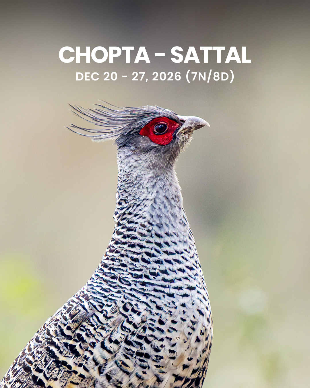
Chopta & Sattal
20 - 27 Dec, 2026
- Ex. Haridwar < > Kathgodam
Duration
8 Days & 7 Nights
Tour Type
Birding
Group Size
6 People
Status
Fully Booked
Chopta, Mandal, Ranikhet & Sattal
Chopta (Kedarnath WLS)
Chopta is a scenic hill station located in the Rudraprayag district of Uttarakhand, nestled in the Garhwal Himalayas. Sitting at an altitude of approximately 2,600–2,900 meters, it serves as the gateway to the Tungnath Temple and Chandrashila Peak. It lies within the Kedarnath Wildlife Sanctuary, one of the richest temperate forest regions in India.
Chopta boasts a rich mosaic of temperate broadleaf and coniferous forests, dominated by oak, rhododendron, deodar, and pine trees. In winter, much of the landscape is blanketed in snow, creating a magical alpine environment. The varied elevation supports a high diversity of flora and fauna, making it a paradise for birdwatchers and nature photographers.
Chopta lies within the Kedarnath Wildlife Sanctuary, established in 1972 and spanning over 975 sq. km. The sanctuary is a vital part of the Western Himalayan biodiversity hotspot and a critical corridor for the movement of high-altitude mammals and birds. Over the past decade, Chopta has gained popularity as a winter birding hotspot due to sightings of many Himalayan endemics.
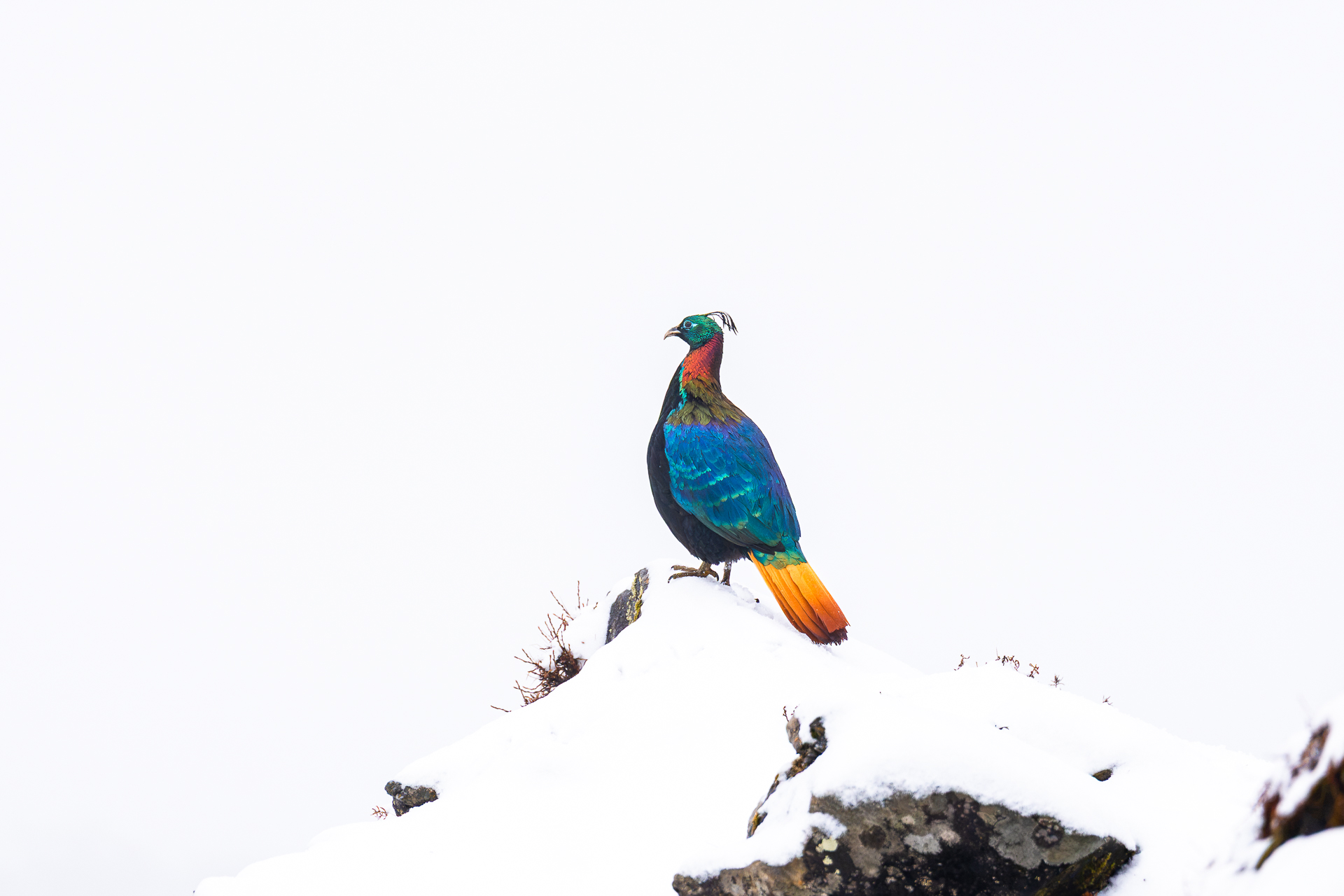
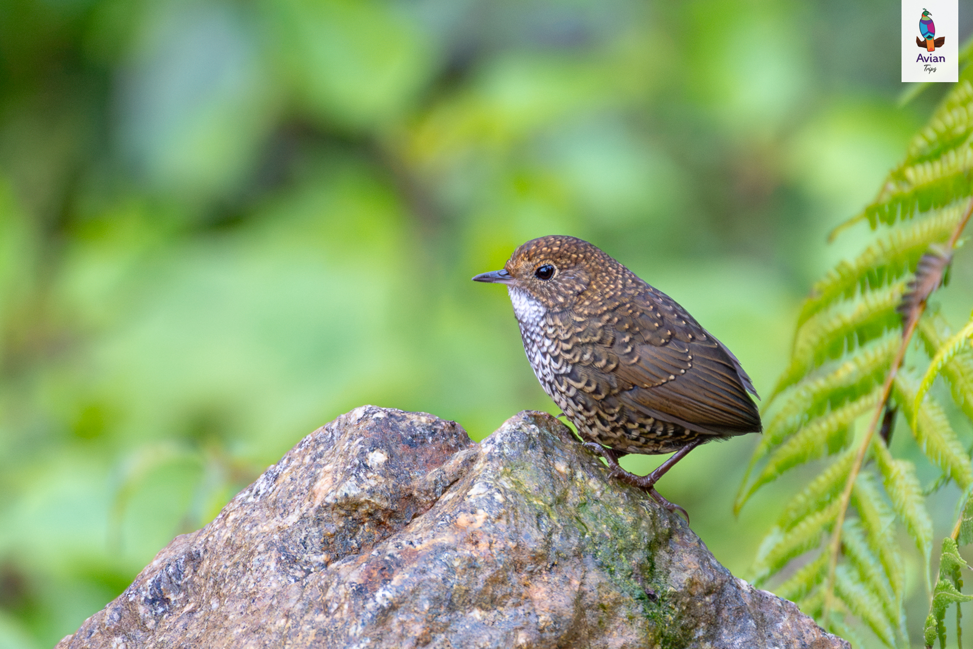
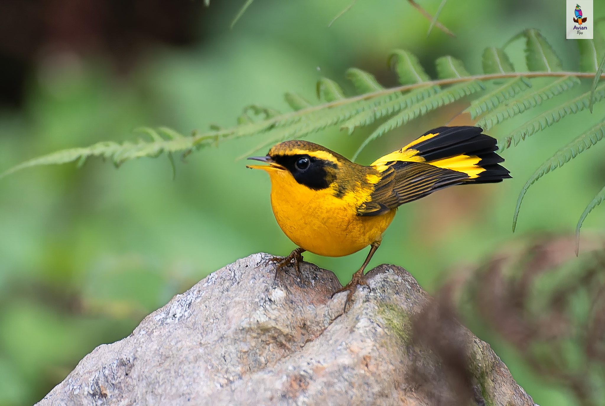
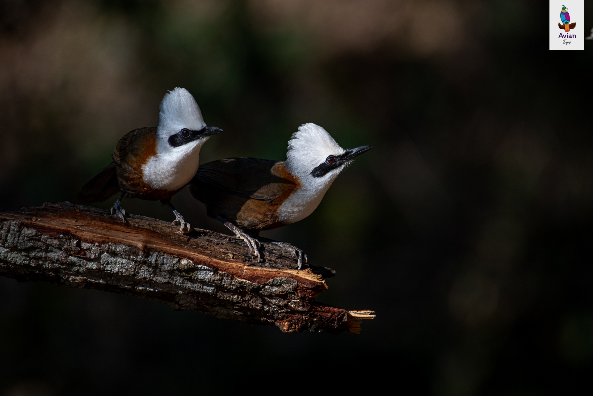
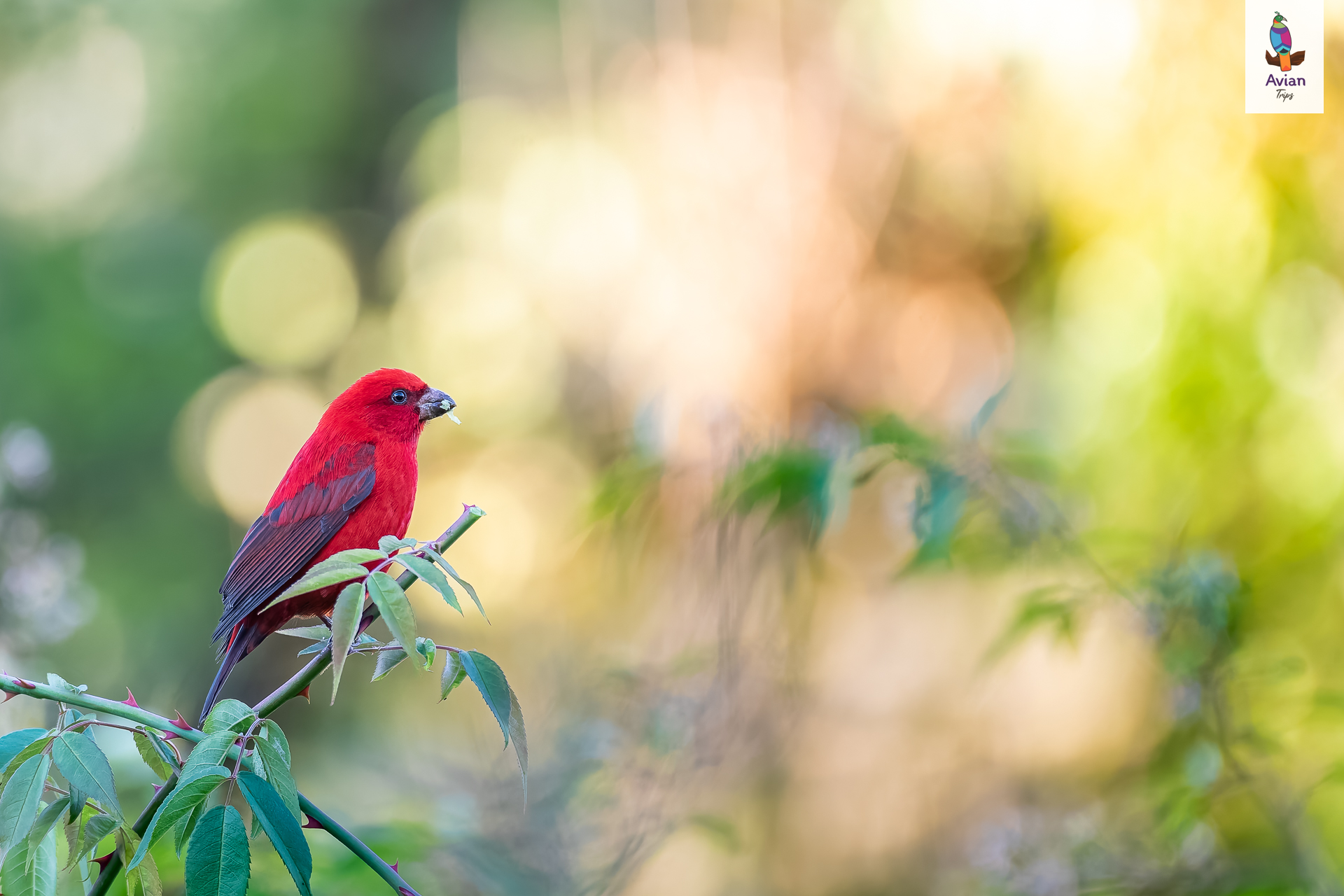
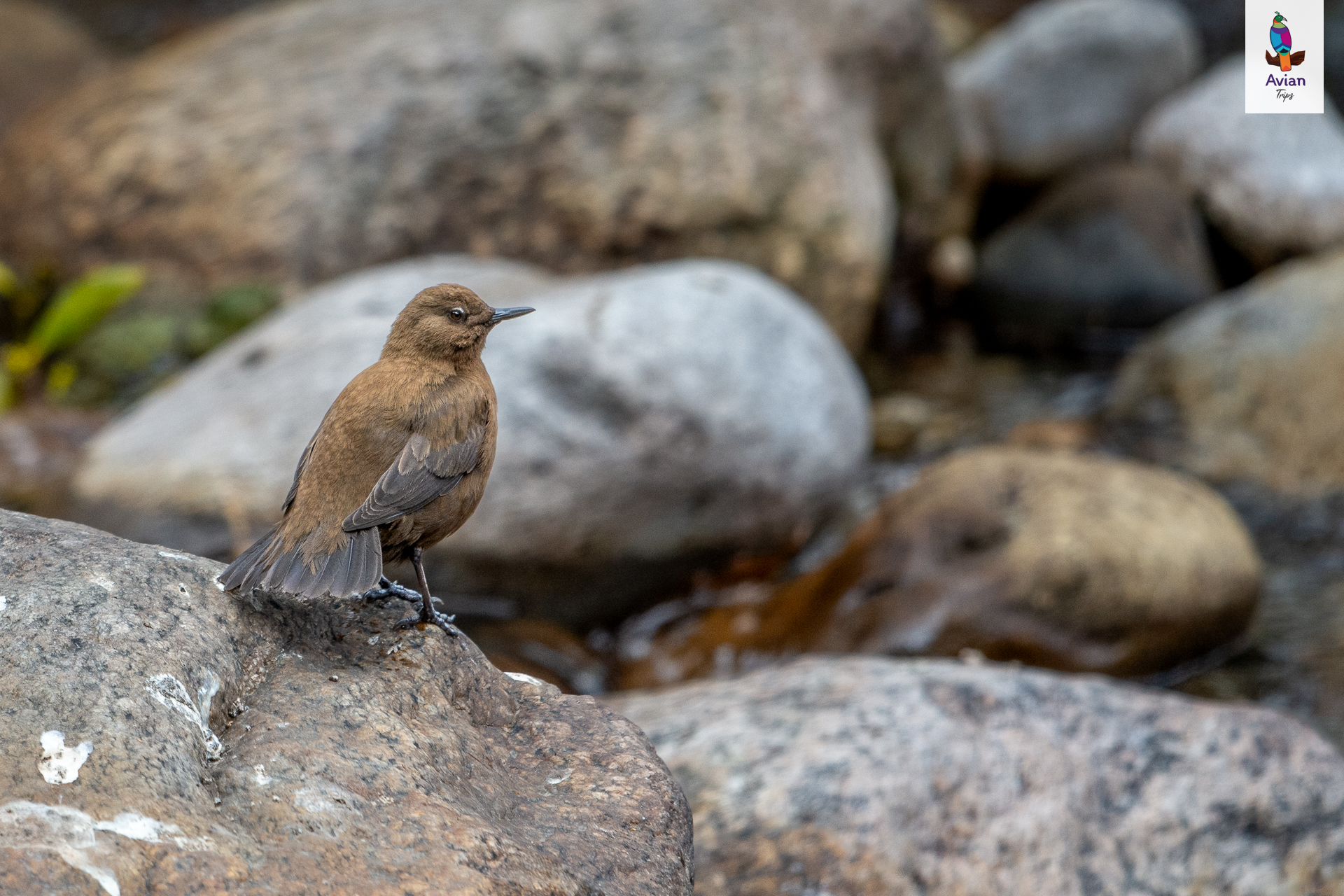
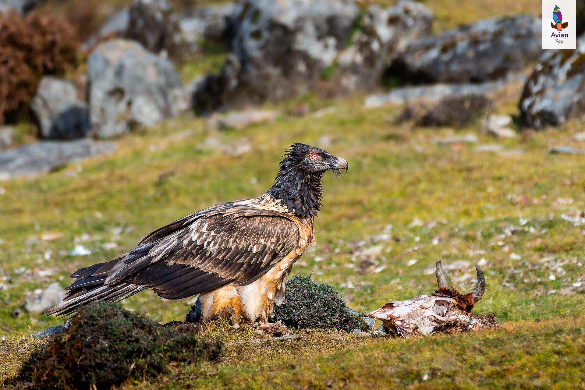
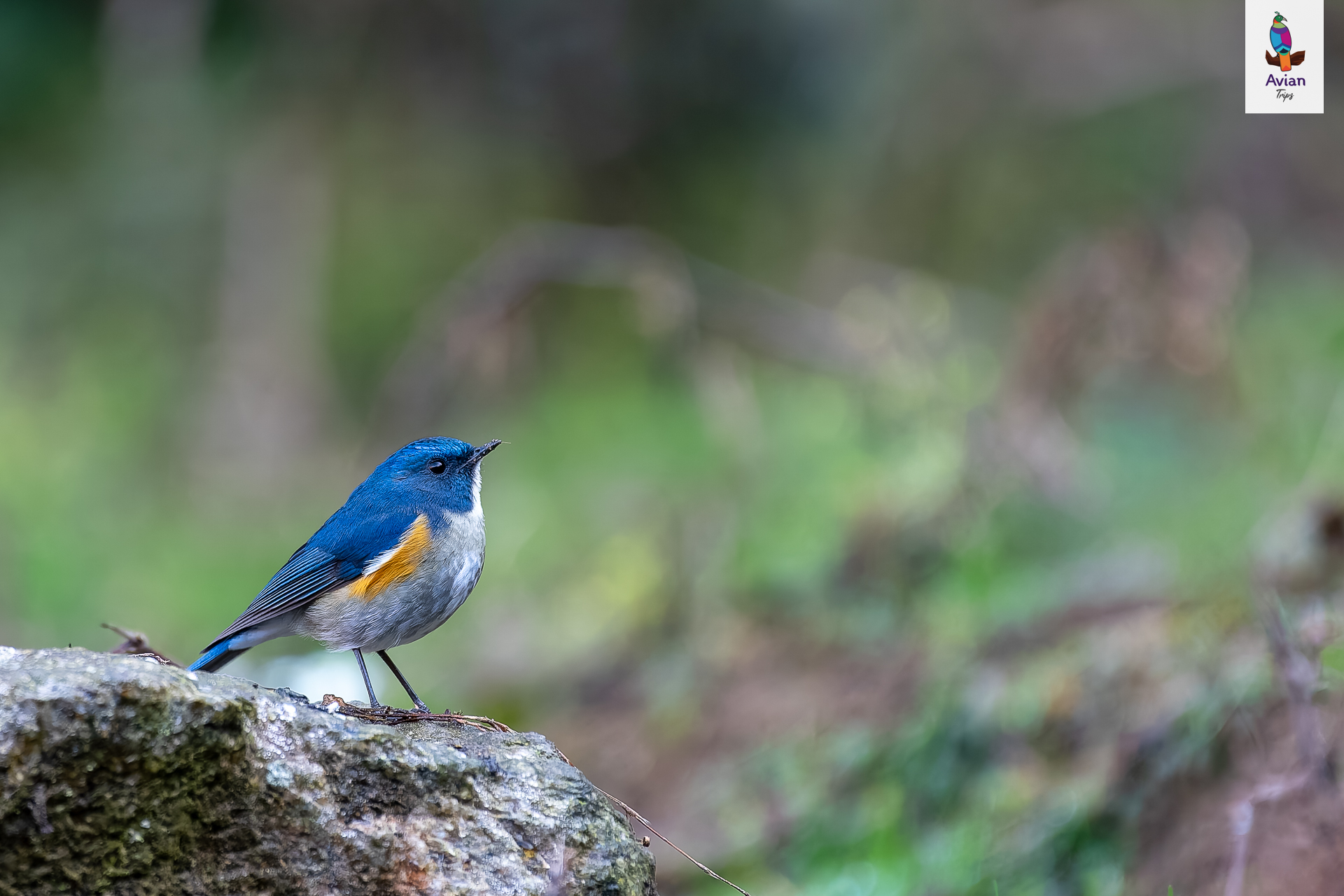
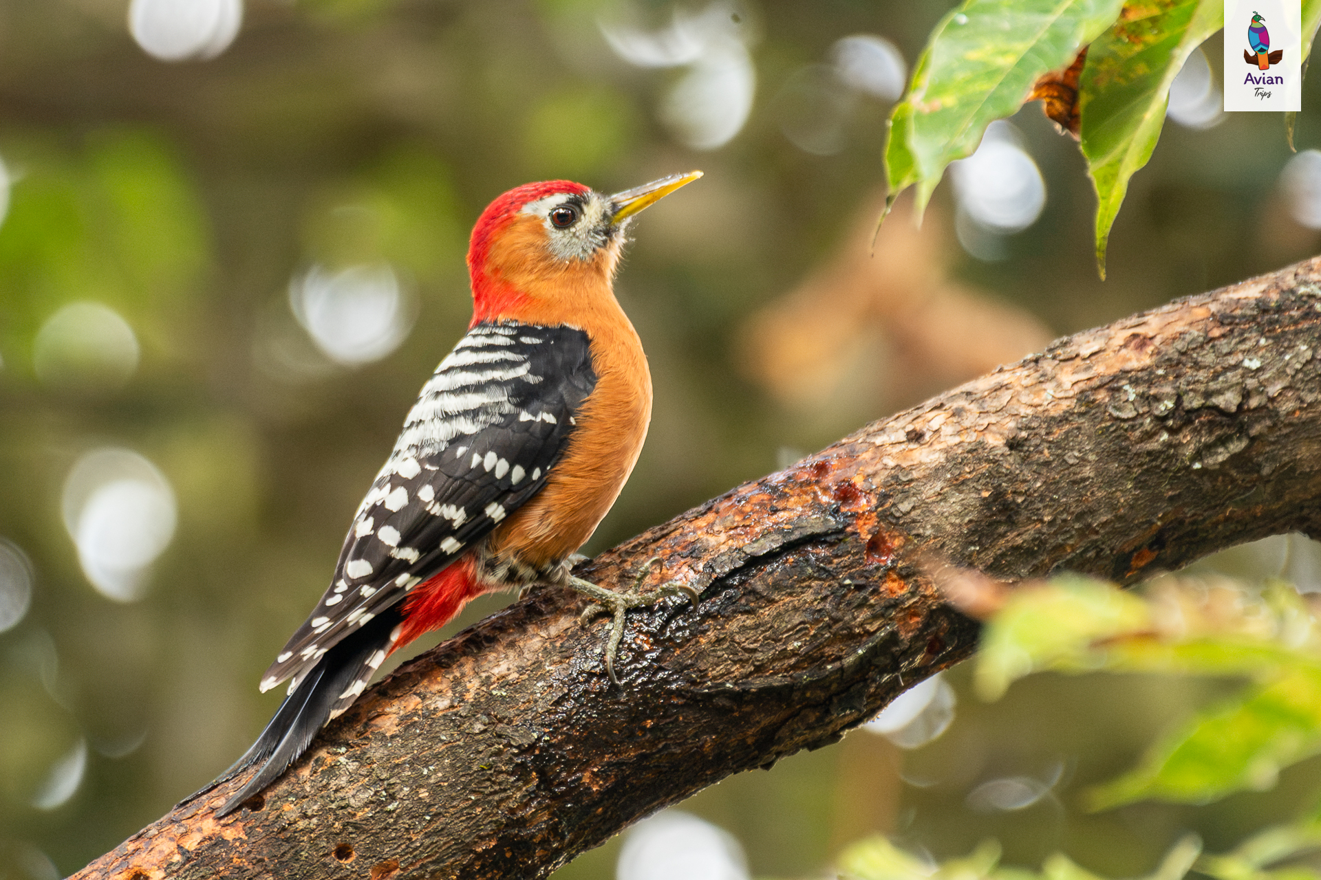
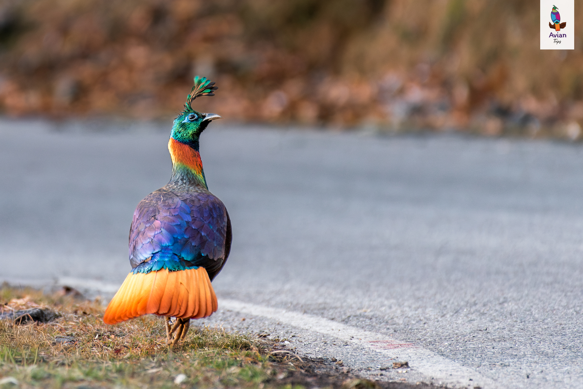
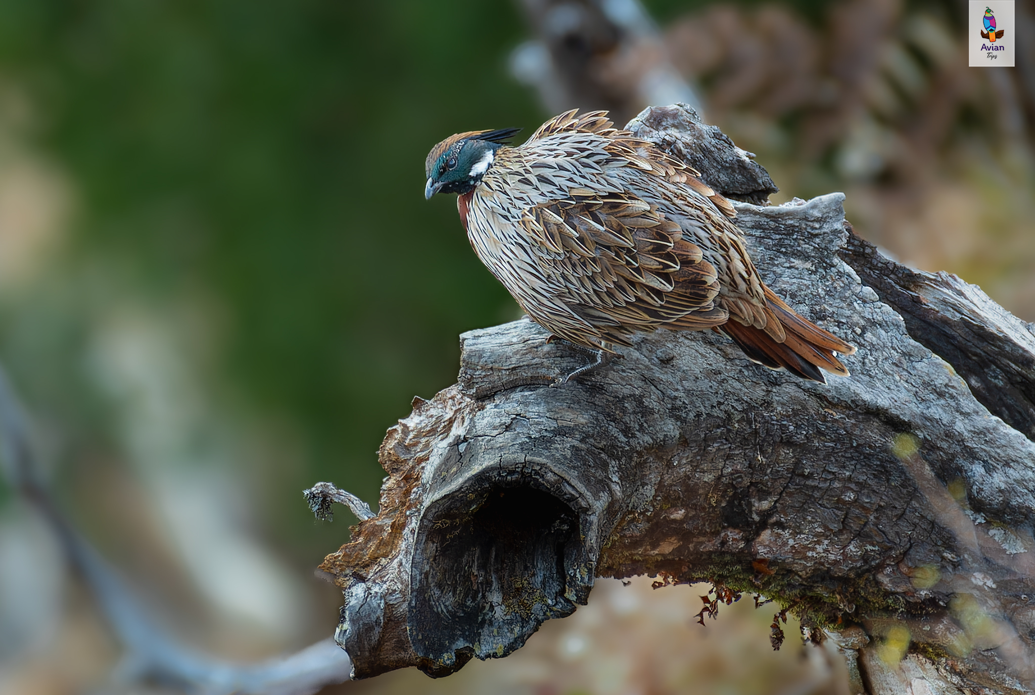
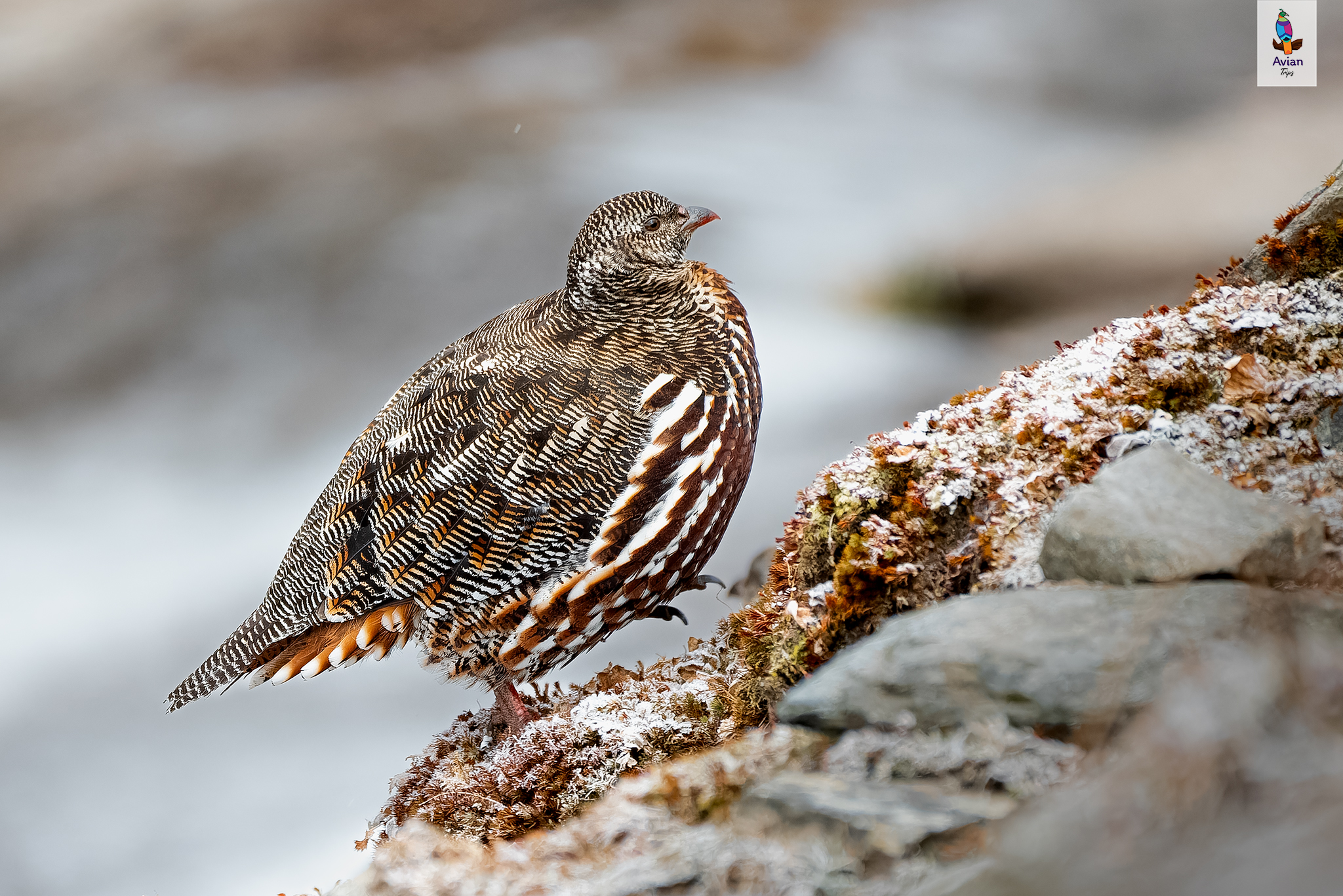
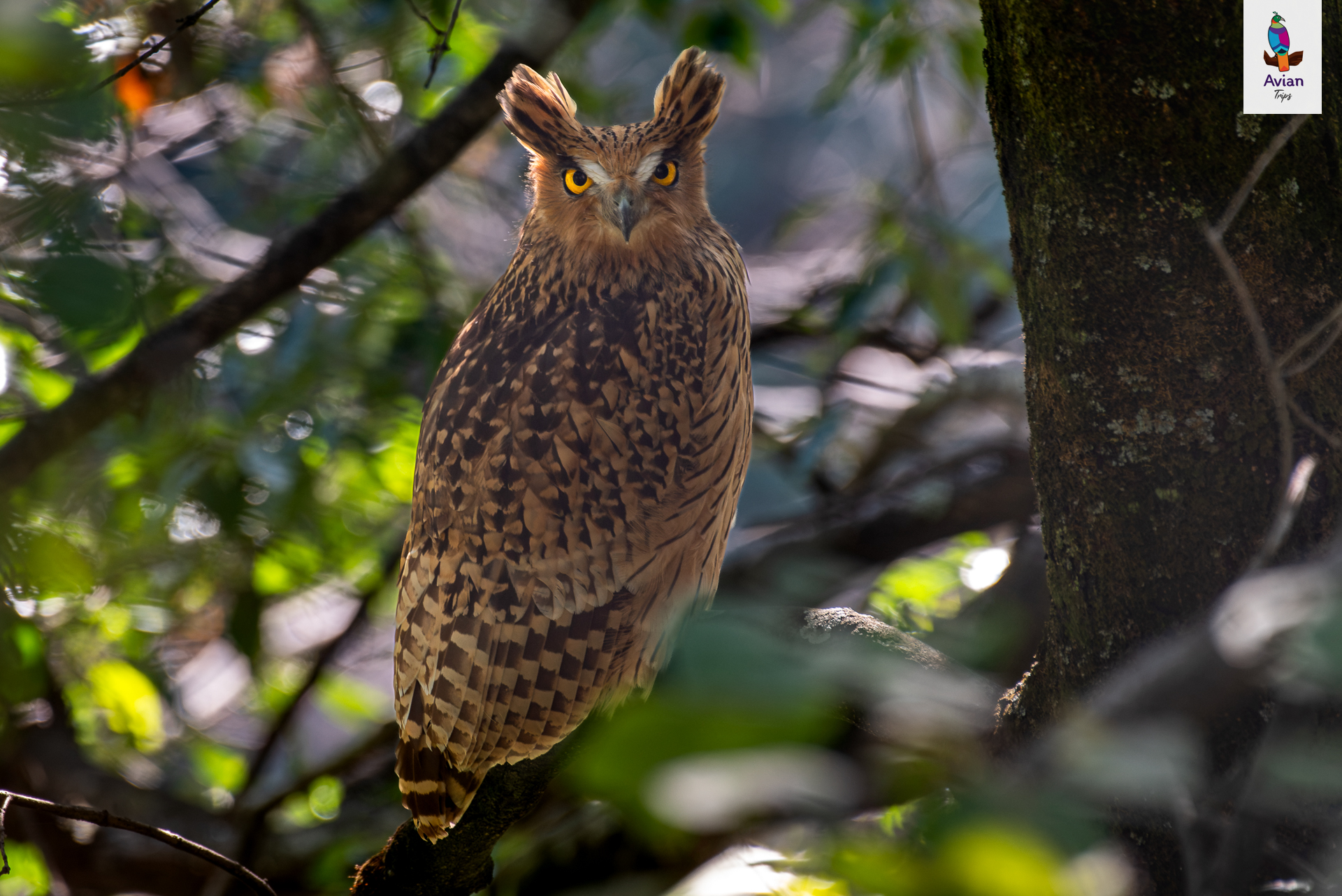
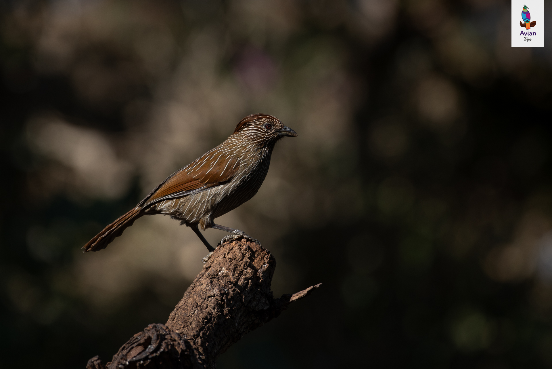
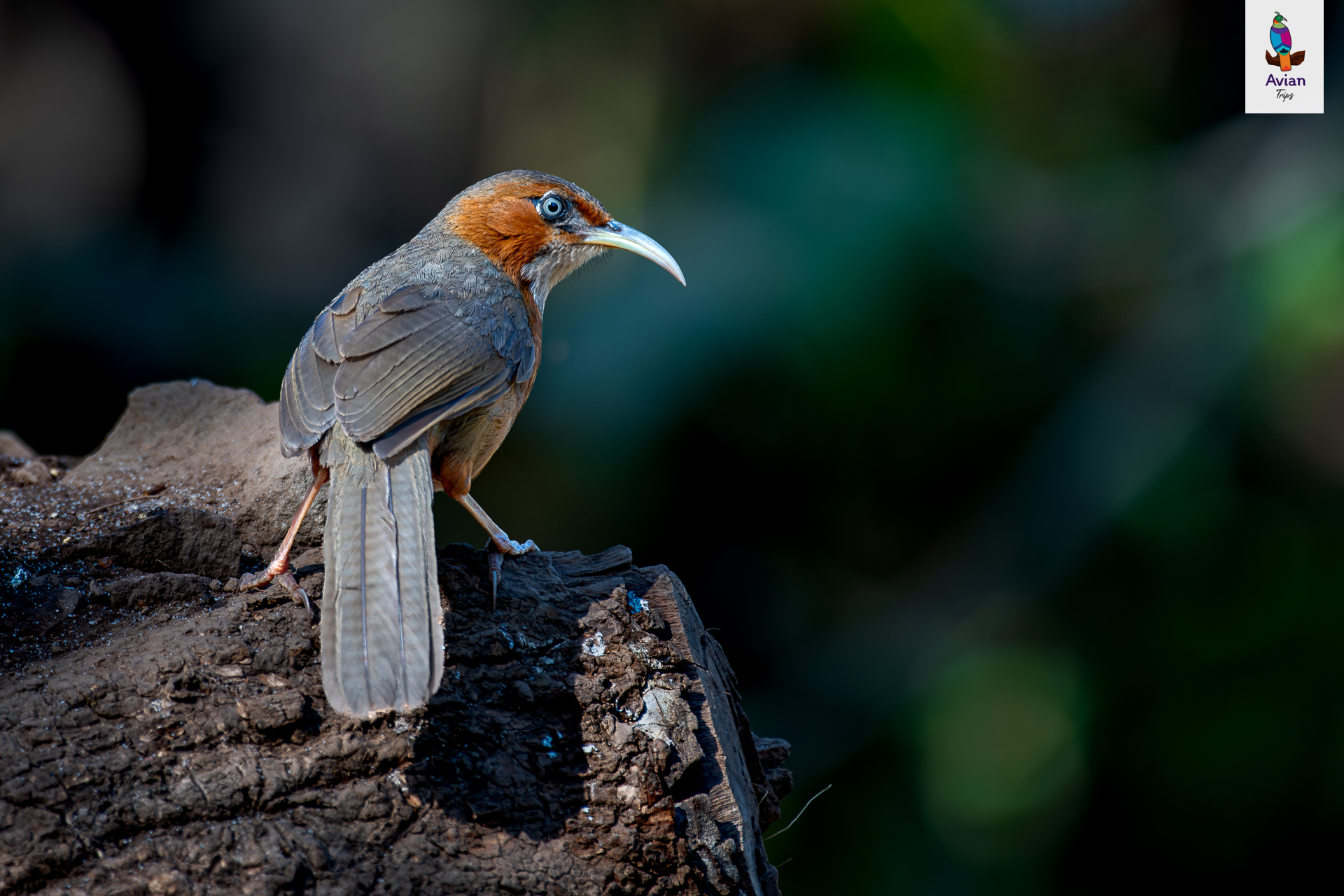
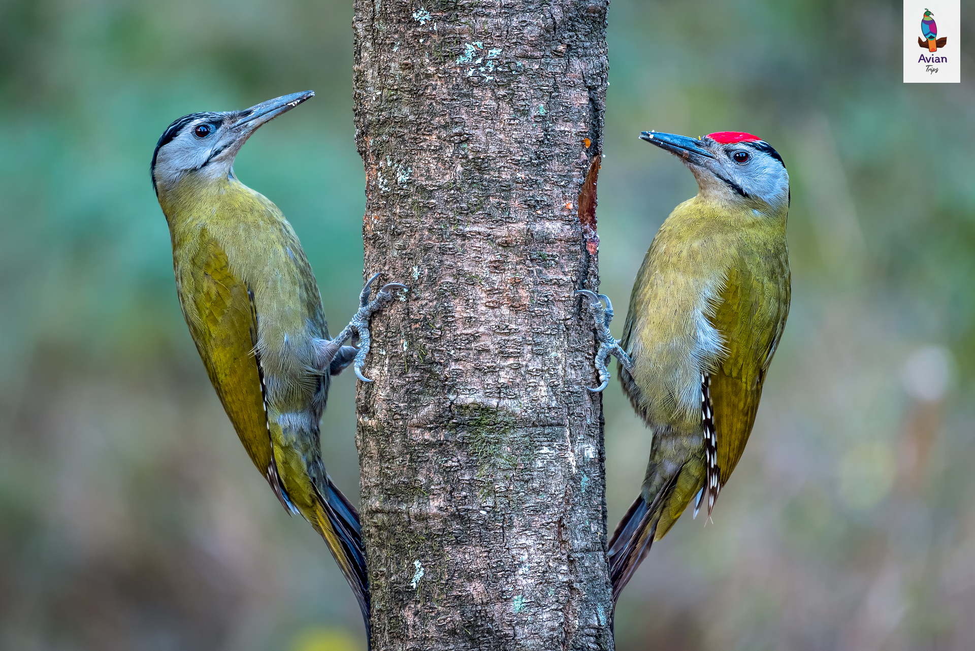
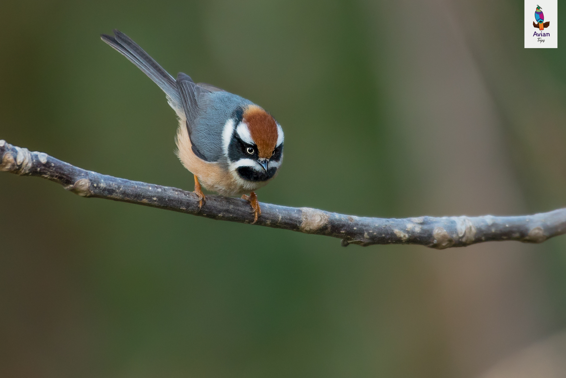
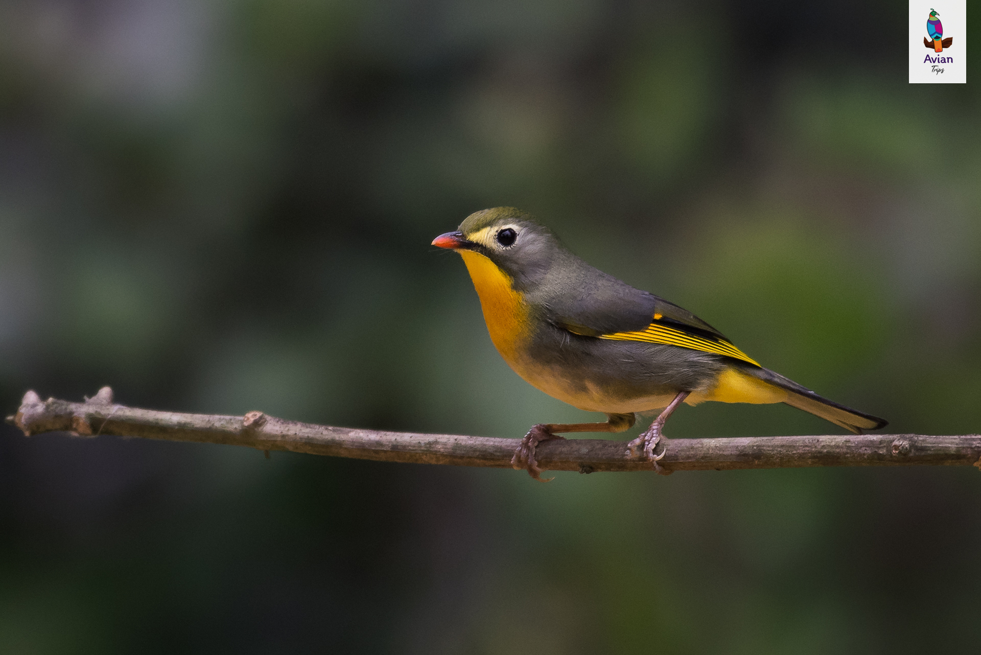
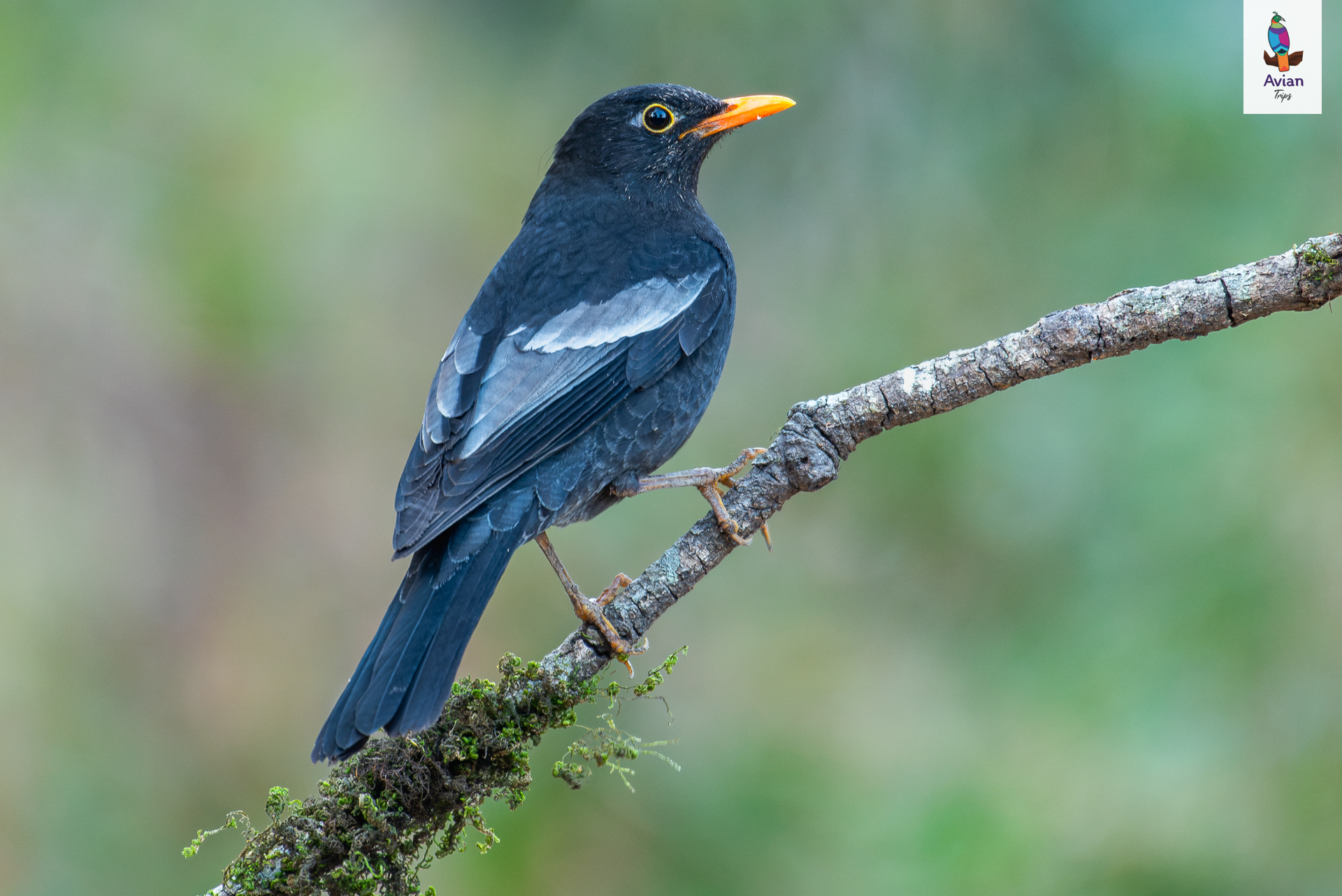
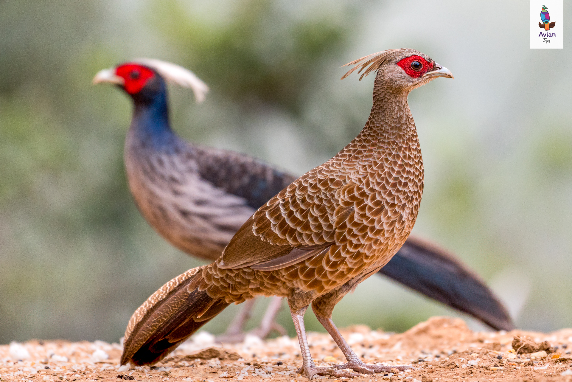
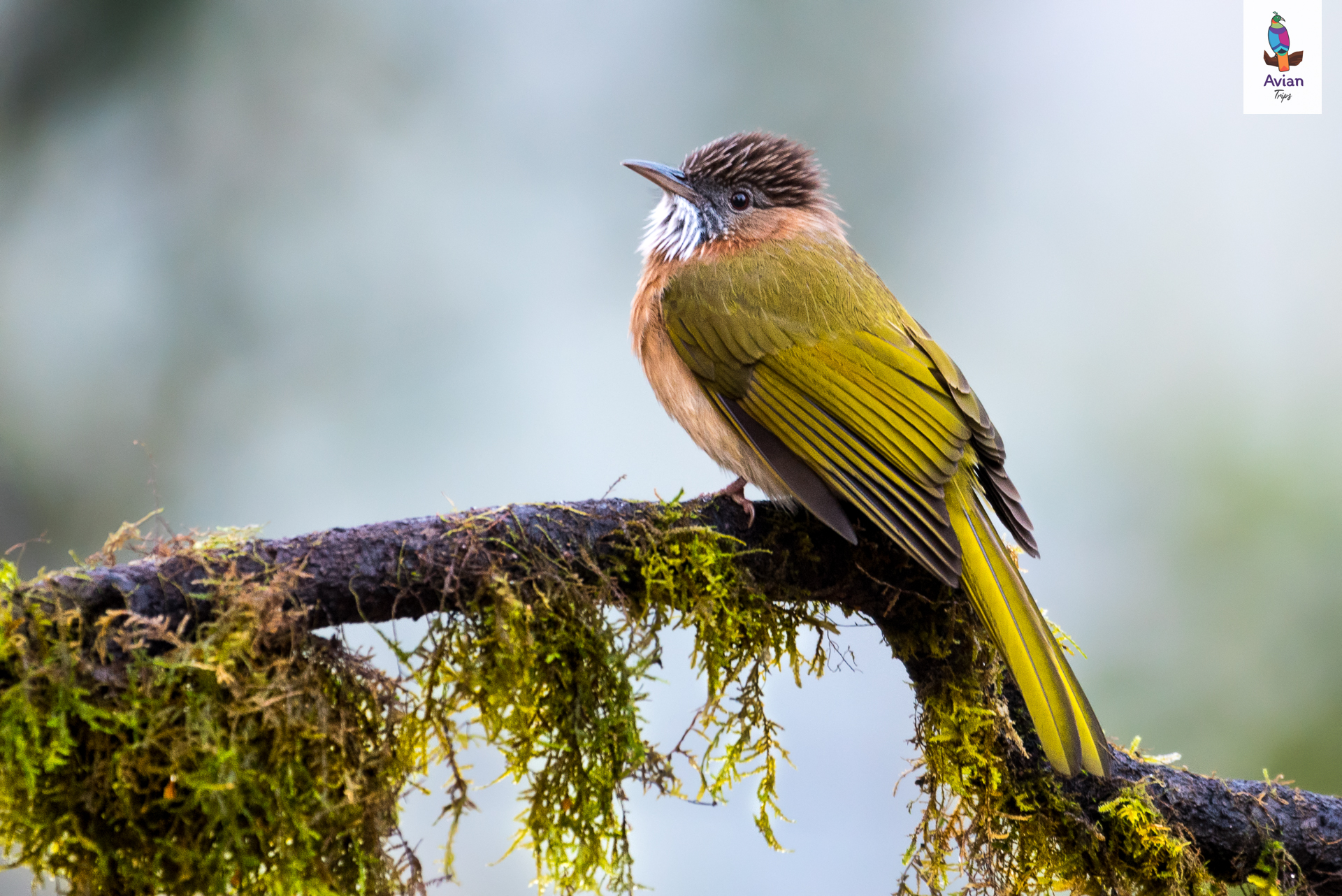
Birds: Himalayan Monal, Koklass Pheasant, Snow Partridge, Lammergeier, Himalayan Griffon, Snow Pigeon, Mistle thrush, Black-headed Jay, Eurasian Jay, Kalij Pheasant, Golden Eagle, Woodpeckers, Laughingthrush, Pink-browed Rosefinch, Golden Bush Robin, Scaly-breasted Cupwing, Rusty-cheeked Scimitar-babbler, Red-heade Bullfinch, Fire-breasted Flowerpecker, White-collared Blackbird, Brown Dipper, Little Forktail, Brown Dipper, Plumbeous Redstart, White-capped Redstart, Chestnut-headed Tesia, Black-faced Warbler, Black-throated Tit, and more…
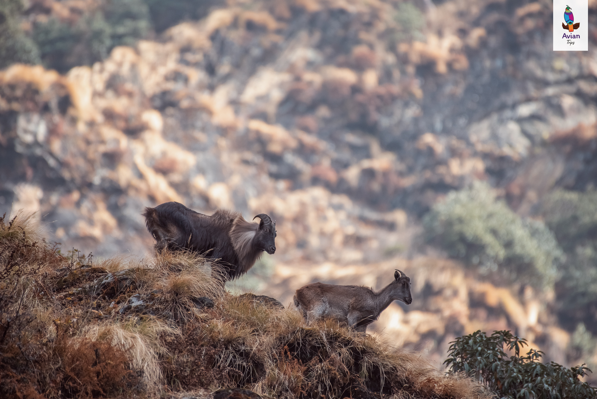
Mammals: Himalayan Goral, Barking Deer, Yellow-throated Marten, Himalayan Langur and more…
Ranikhet & Nainital – Jewels of Kumaon Hills
Ranikhet and Nainital are picturesque hill stations located in the Kumaon region of Uttarakhand, nestled in the outer Himalayan range. Ranikhet sits at an altitude of about 1,860 meters, while Nainital lies slightly higher, around 2,000 meters. These regions fall within the Western Himalayan broadleaf forest zone and are part of the Terai–Arc Landscape, a globally significant biodiversity corridor.
The area is dominated by a rich mix of temperate forests, including Oak, Rhododendron, Chir pine, and Deodar. In December, much of the higher elevation is chilly and mist-covered, ideal for winter migrants. Lower slopes around Sattal, Pangot, Bajoon, and Chanfi feature dense canopies, hill streams, and shrub layers—perfect for both skulking species and open-branch perchers.
Nainital was established by the British in the 1840s as a summer retreat, while Ranikhet served as a cantonment and base for forest management. Over time, both became significant centers for ornithology and conservation, especially as part of the Corbett–Nainital birding circuit. The nearby Sattal–Pangot–Bajoon region has emerged as one of India’s most popular bird photography destinations, with dedicated hides and forest trails.
Birds: Cheer Pheasant, Khalij Pheasant, Small Niltava, Rufous-bellied Niltava, Blue-fronted Redstart, Red-billed Blue Magpie, Yellow-billed Blue Magpie, Black-throated Tit, Spot-winged Tit, Whiskered Yuhina, Slaty-blue Flycatcher, and more…
Mammals: Himalayan Goral, Barking Deer, Yellow-throated Marten, Himalayan Langur and more…
Itinerary
Arrive at Haridwar Railway Station by 4:00 AM via Kota DDN Spl (12401).
En-route birding.
It takes around 6-8 hrs to reach our hotel at Pothibhasa.
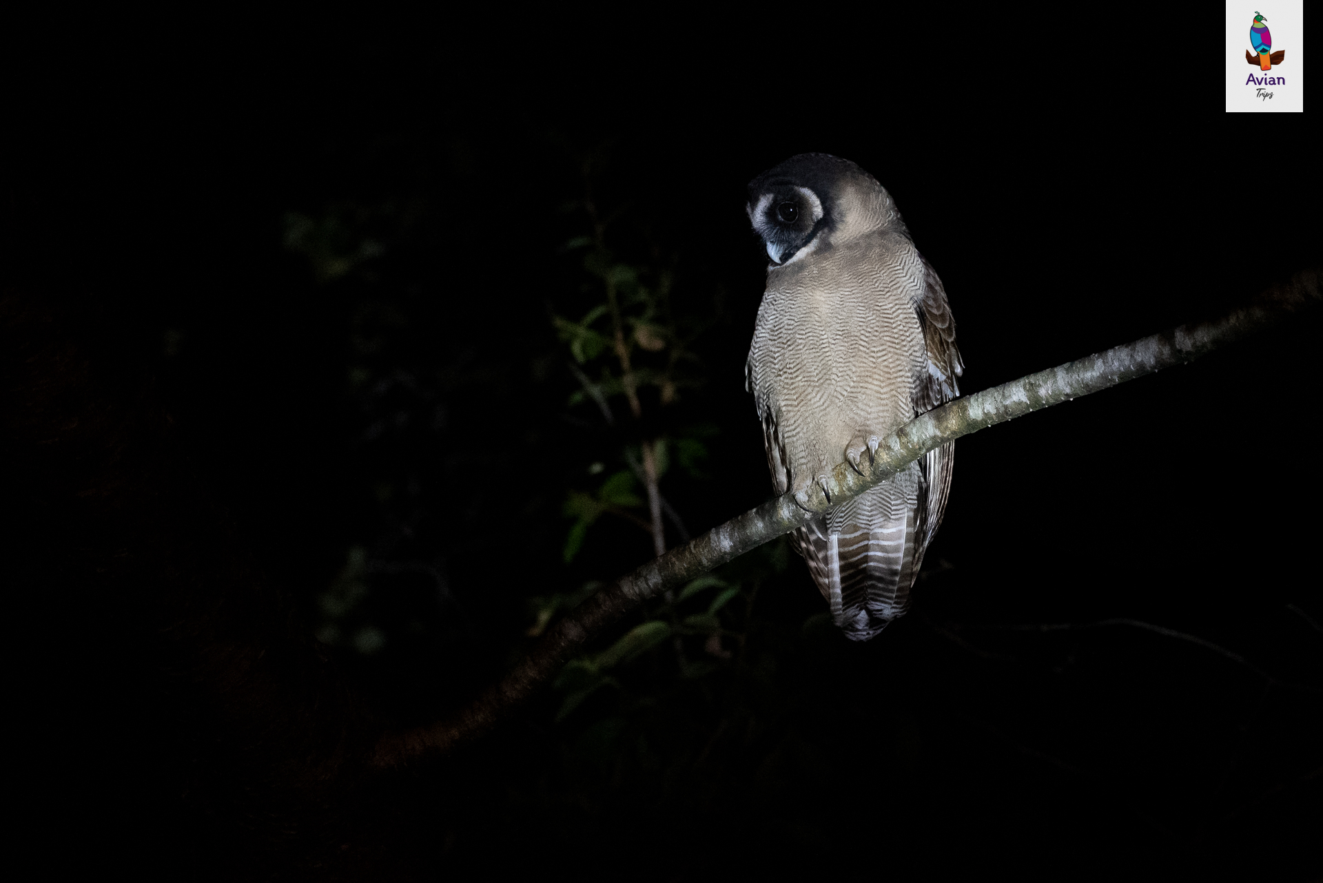
After dark, attempt nocturnal mammal photography.
Overnight in Hotel Snow view, Pothibhasa.
Meal Plan: Lunch + Evening Tea + Dinner
Early morning trek/drive to Tungnath trail.
Target species: Himalayan Monal, Snow Partridge, Chukar Partridge.
Evening birding at Sari or Makku Village.
After dark, attempt nocturnal mammal photography.
Overnight in Hotel Snow view, Pothi Bhasa.
Meal Plan: Breakfast + Lunch + Evening Tea + Dinner
Morning visit to Lower Chopta targeting Koklass Pheasant.
Continued birding for Himalayan Monal and other high-altitude species.
Breakfast & lunch at local dhaba.
After dark, attempt nocturnal mammal photography.
Overnight in Hotel Snow view, Pothi Bhasa.
Meal Plan: Breakfast + Lunch + Evening Tea + Dinner
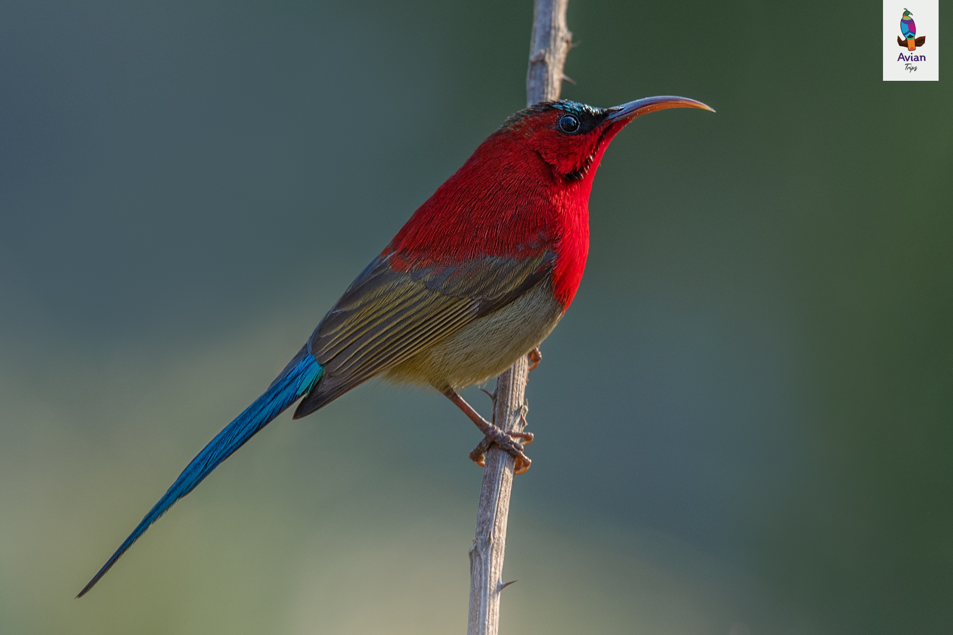
Morning village walk to photograph Scarlet Finch, Pink-browed Rosefinch, Spot-winged Rosefinch, sunbirds, and warblers.
Post lunch, we will head back to the river to photograph water birds like the Brown Dipper, Little Forktail, Plumbeous Redstart, White-capped Redstart, and Chest-headed Tessia.
Stay at Alpine view Hotel, Mandal.
Meal Plan: Breakfast + Lunch + Evening Tea + Dinner
Birding around Mandal village post breakfast.
Check-out and transfer to Ranikhet with en-route lunch.
Dinner and rest in Ranikhet Hotel.
Meal Plan: Breakfast + Lunch + Evening Tea + Dinner
Early morning photography session dedicated to the elusive Cheer Pheasant.
Depending on success, proceed to Sattal by evening.
Overnight in Wild Kumaon Hotel.
Meal Plan: Breakfast + Lunch + Evening Tea + Dinner
Morning session at Shyamkhet.
Post breakfast we will do birding around the hotel / Hide.
Post lunch, birding at Chanfi.
Overnight in Wild Kumaon Hotel.
Meal Plan: Breakfast + Lunch + Evening Tea + Dinner
Today we will spend time in hide.
Post Lunch we start our journey Kathgodam railway station.
Meal Plan: Breakfast + Lunch
Trip Charges
Standard
₹46,500
- Per Person
- Twin Sharing
Couple
₹92,000
- Per Couple
- Twin Sharing
Avians*
₹45,000
- Per Person
- Twin Sharing
Single Occupancy: ₹9,600 Additional
Trip Location
Gallery



Have Any Question?
- +91 8655 242625
- +91 9136 137274
- ask@aviantrips.com